Cedar Mountain Lifestyle Guide to Life Near DuPont Forest
March 24, 2026
March 24, 2026
What if your after‑work routine was a 10‑minute drive to a waterfall, a quick loop through the pines, then dinner under string lights with live music? If you are eyeing the mountains for a simpler, outdoorsy life, Cedar Mountain delivers that rhythm without the crowds and traffic of bigger hubs. In this guide, you will learn what day‑to‑day looks like when DuPont State Recreational Forest is next door, where locals gather, and what to know before you buy. Let’s dive in.
Cedar Mountain is a small, unincorporated community along US‑276, about 10 to 11 miles south of downtown Brevard, set around 2,700 feet in elevation. You feel tucked into the forest here, yet you are close to town for groceries, healthcare, and events. That proximity is a big reason many buyers choose Cedar Mountain over more remote areas. For a quick orientation, review the community overview on the Cedar Mountain Wikipedia page.
Living in Cedar Mountain puts you beside one of North Carolina’s most beloved public lands. DuPont State Recreational Forest covers about 10,400 acres with more than 80 miles of multi‑use roads and trails, multiple lakes, and photo‑worthy waterfalls like Hooker, Triple, High, and Bridal Veil. For an official overview of acreage, trails, and stewardship, see the state’s summary of DuPont’s management and use on the North Carolina General Assembly document site.
DuPont is managed by the N.C. Forest Service, which publishes current maps, parking areas, and any closure notices. Before you head out, check the official DuPont maps and information page for updates. Visitation has grown over the years, and weekends and holidays can be crowded, so plan your timing and parking accordingly. Weekdays and early mornings often feel quieter.
When you live in Cedar Mountain, you can squeeze a waterfall visit into a weeknight. Hooker Falls is a reliable favorite, with a short path of about 0.25 mile from its parking area to the falls. If you want a little more distance, the Waterfalls Loop that connects Hooker, Triple, and High Falls is commonly described around 3 miles, perfect for a brisk evening hike. For trailhead details and permitted uses, keep the official DuPont maps handy, and preview Hooker Falls basics on Wikipedia’s Hooker Falls page.
DuPont includes several small lakes, including Lake Julia, Fawn Lake, and Lake Imaging, and Cascade Lake below Hooker Falls offers popular water access. You can find permitted areas for wading or swimming, and you should expect company during warm evenings and weekends. Peak season crowds are normal here, so arrive early or plan your visit on quieter weekdays. The state’s DuPont overview highlights the recreational mix and ongoing parking management.
If you want views without a full‑day commitment, look to the Corn Mill Shoals and Cedar Rock area. Locals love the granite slabs, open sky, and 4 to 5 mile loop options that start from the Corn Mill Shoals access. Intersections can come quickly when you are on a short window, so carry a paper map or a GPX route on your phone. The well‑regarded DuPont map from Pisgah Map Company is a great resource for planning and on‑trail navigation; you can preview it on the Pisgah Map Company DuPont page.
DuPont is a multi‑use forest, which means hikers, equestrians, and mountain bikers share the trail system. The N.C. Forest Service outlines etiquette, including yielding and speed control, and it is important to note that electric bikes are not allowed on forest roads or trails. Review rules, recommended access areas, and etiquette on the NCFS biking information page before you ride.
For bikes, common starting points include Corn Mill Shoals, Fawn Lake, Lake Imaging, and Guion Farm. Hooker Falls and High Falls lots are often full and less convenient for longer loops. If you want a solid intermediate sampler, try the community‑shared “Dupont Main Route,” about 6.2 miles with around 800 feet of climbing, usually a 60 to 90 minute ride for locals. You can view it on Trailforks’ Dupont Main Route page.
For rentals, repairs, and a post‑ride drink or pastry, you will find a full service scene 10 to 15 minutes north in Brevard and Pisgah Forest. Riders often mention spots like Sycamore Cycles and Crank Coffee, Squatch Bikes & Brews, and The Hub for that classic “ride and refuel” loop. It is one reason Cedar Mountain feels both quiet at home and connected when you want options.
Your morning may start with a hearty breakfast or lunch at the Cedar Mountain Café, a local favorite that sources thoughtfully and serves the trail crowd and neighbors alike. Evenings often flow to the outdoor beer‑garden vibe at the Cedar Mountain Canteen or a small‑batch tasting and events at Cedar Mountain Moonshine. Hours can be seasonal, so check venue pages before you go. Expect a slow‑town rhythm, with relaxed patios, acoustic sets, and plenty of friendly dogs on leashes.
You will find outdoor gear, bike help, and gifts at Hiker & The Hound / DuPont Bike Shop, a handy stop for last‑minute tubes or trail beta. For produce and specialty items, the Whistlestop Market & Wine is a convenient local option. For larger groceries, pharmacy, and medical services, most residents make the quick drive to Brevard. If you need gear details or current offerings, preview the local shop via Hiker & The Hound’s store listing.
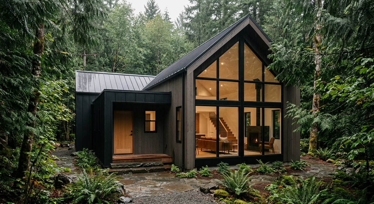
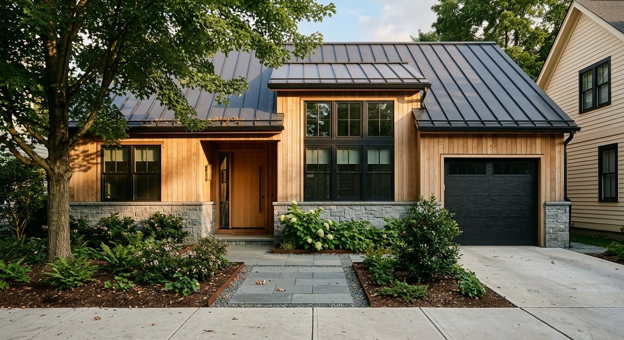
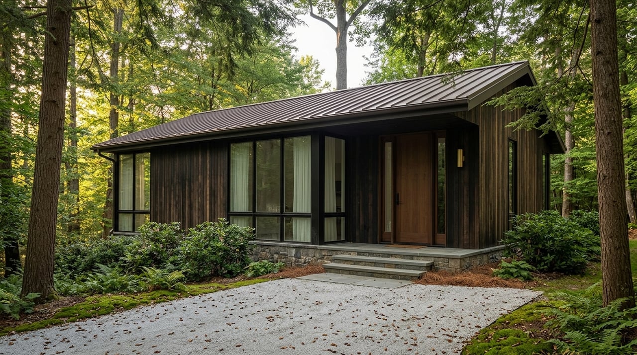
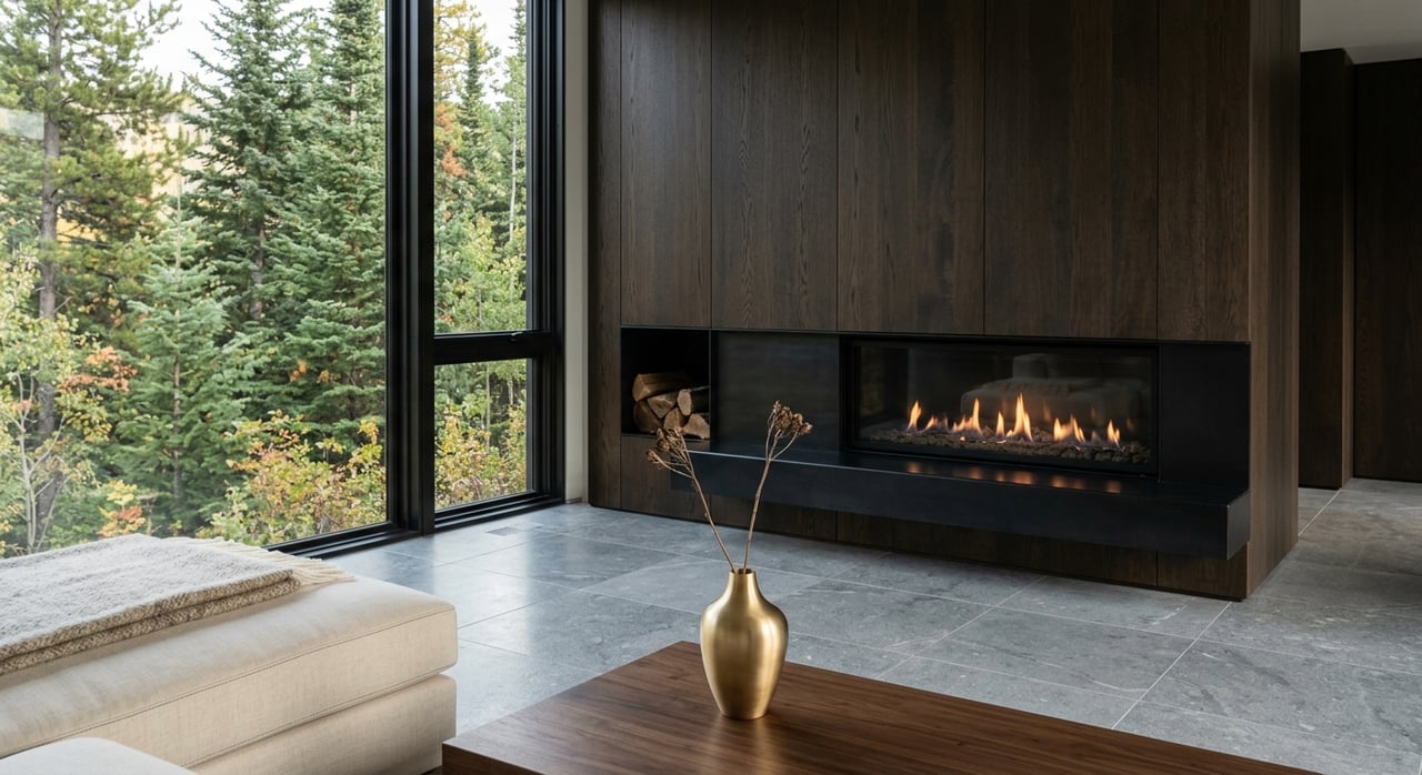
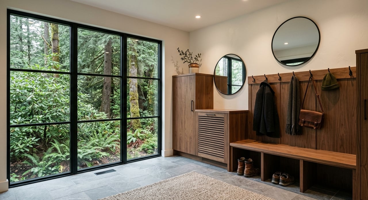
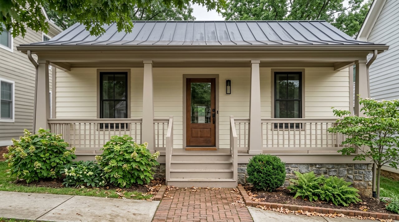
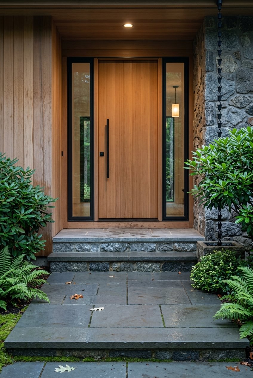
Cedar Mountain has a mix of cozy cabins, classic ranch homes, and larger acreage properties tucked into the trees. Many buyers are second‑home and lifestyle relocators who want quick access to trails and lakes, with short‑term rentals common near DuPont. Pricing varies widely based on acreage, condition, and proximity to trailheads. For current, MLS‑backed numbers and neighborhood nuance, connect with a local broker who works these micro‑markets daily.
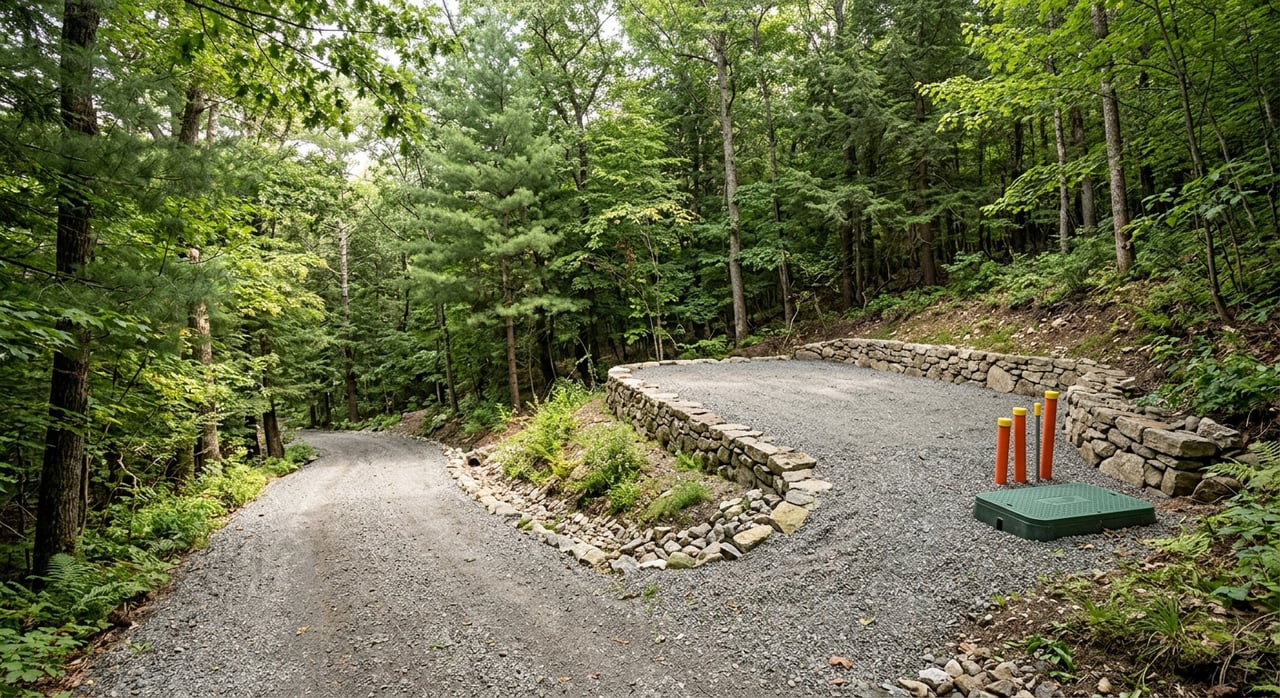
Mountain homes often come with private wells and septic systems, longer gravel driveways, and pockets of limited cell coverage in the valley. You should evaluate road access, winter maintenance needs, flood maps, and insurance costs for each property. Recent storms, including Hurricane Helene in 2024 and 2025, impacted local businesses and infrastructure, which is a reminder to review emergency plans, drainage, and resilience features as part of due diligence. If a home sits near a stream or bottomland, ask your agent to help you research permits, prior claims, and elevation details.
If you plan to use rental income, expect seasonal peaks from May through October and heavier traffic around holiday weekends. Parking can be tight near the waterfall corridor, so set guest expectations and share trailhead tips. DuPont’s rules prohibit camping and campfires, require pets to be under control, and do not allow e‑bikes on trails. You can confirm current rules and etiquette on the NCFS biking and trail use page and always check the official maps page for any updates.
If you want a life that revolves around waterfalls, granite domes, and a friendly porch scene, Cedar Mountain makes it easy. You can hike after work, ride on weekends, and still be close to Brevard for services, arts, and dining. When it is time to buy or sell, you deserve local guidance that connects lifestyle with the right property. If you are ready to explore Cedar Mountain’s micro‑markets, reach out to Heather Scott for neighborhood insight, current listings, and a clear plan.
Stay up to date on the latest real estate trends.
June 18, 2026
June 11, 2026
June 4, 2026
May 21, 2026
May 14, 2026
May 7, 2026
April 23, 2026
April 16, 2026
April 2, 2026
Reach out to for expert real estate services. Buy, sell, or rent properties with confidence. Contact us today!